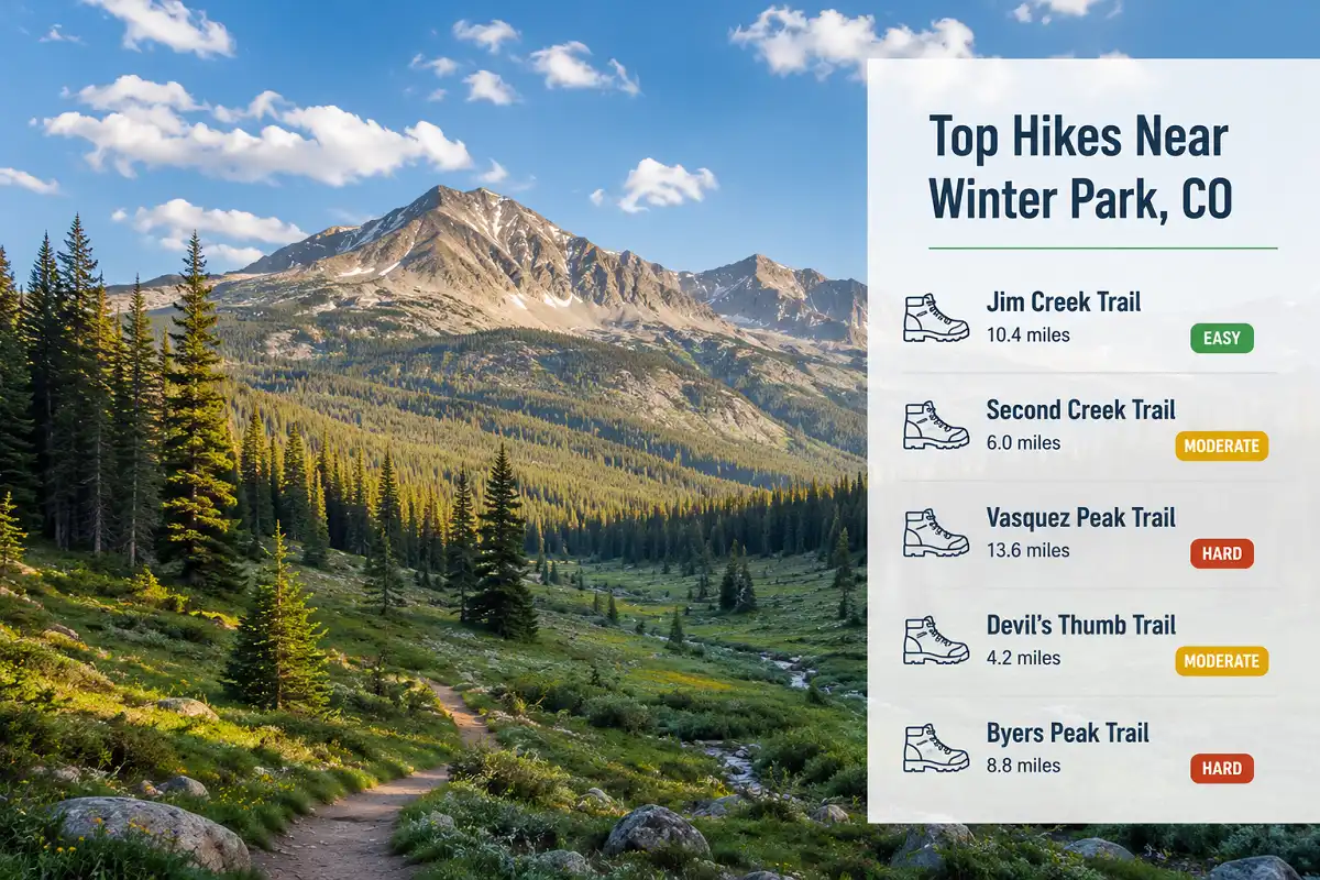
Best Hikes Near Winter Park, Colorado: A Local Trail Guide
You roll into Winter Park with your boots still in the trunk and no plan for where to point them. Highway 40 cuts through town past a dozen trailhead signs, and the valley sits inside more than 75,000 acres of national forest and wilderness. I’ve spent enough weekends here sorting short creek walks from all-day summit pushes, so this guide covers the best hikes near Winter Park, Colorado, from easy river walks to a full summit hike. Each pick below fits a different fitness level, so you can choose based on your morning instead of guessing at a map.
Which Winter Park hike should you choose?
Second Creek Trail is the easiest way into the high country, Jim Creek Trail pairs forest and a waterfall in one moderate outing, and Byers Peak Trail is the toughest of the best hikes near Winter Park, Colorado if you want a full summit. The comparison table below breaks out mileage and elevation gain for every trail, so skim that first if you just need a quick decision.
What to Know Before You Pick a Trail
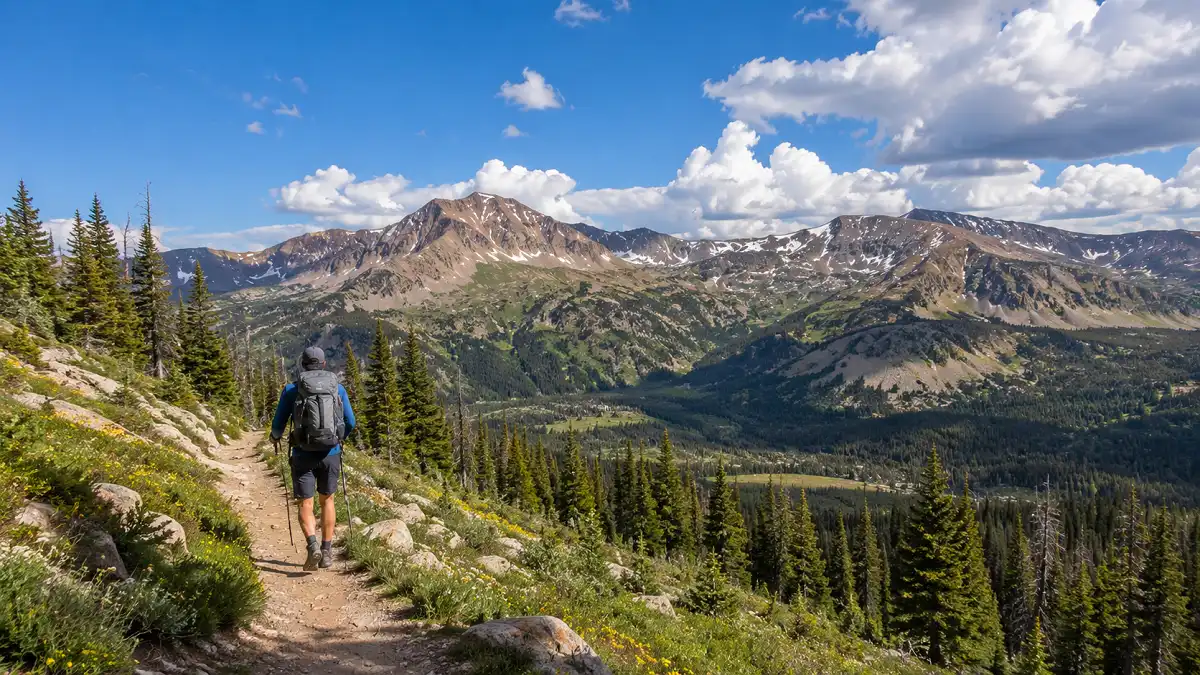
Every trail on this list of the best hikes near Winter Park, Colorado starts within a short drive of downtown, and most trailheads sit somewhere between 8,700 and 9,600 feet before you even take a step. That altitude changes how a hike feels. A climb that would be moderate at sea level turns into real work up here, so I factor elevation gain into every recommendation below.
If you’re new to mountain hiking, this quick gut check on what counts as serious elevation gain is worth a look before you commit to the tougher options on this list.
Winter Park has also claimed the title of highest incorporated town in the country since a 2006 land annexation, a claim some nearby towns dispute, so don’t expect the air to feel like home if you’re arriving from lower ground.
Dogs are welcome on a leash almost everywhere in this guide, and afternoon thunderstorms roll in fast during summer, so plan to be off any exposed ridge by early afternoon. Parking fills up fast at the smaller trailheads on summer weekends, so aim for an early start if you want a spot close to the trail instead of a longer walk-in from an overflow area.
This list of the best hikes near Winter Park, Colorado leans on trails I’ve hiked myself or checked against official Forest Service data, not just recycled trail descriptions.
The Best Hikes Near Winter Park, Colorado
Here are six trails I keep coming back to, ordered roughly from easiest to hardest.
Fraser River Trail
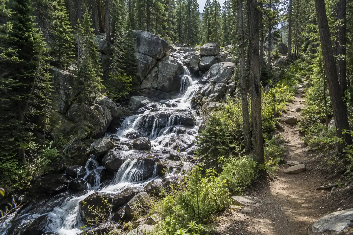
This paved path follows the Fraser River from Winter Park Resort into downtown, about 2 miles each way, and keeps going further if you want to continue toward the town of Fraser. The grade stays flat the entire way, which makes it a solid choice for families, strollers, and anyone still adjusting to the altitude.
I like it as a rest-day option between bigger hikes, since it still gets you outside without asking much of your legs. Watch the willows along the river in the early morning or evening, since moose show up here more often than you’d expect.
Jim Creek Trail
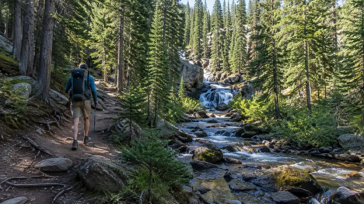
Jim Creek Trail starts right across Highway 40 from the main entrance to Winter Park Resort, at the Bonfils-Stanton Outdoor Center. Plan on about 7.5 miles round trip with roughly 1,450 feet of elevation gain, which puts it solidly in moderate territory.
An easy boardwalk section opens the hike before the trail narrows and climbs alongside the creek, past the Jim Creek Campground, and up to a cascading waterfall that makes a natural turnaround point.
Higher up, the trail turns rocky and rooty, more than I expected the first time I hiked it, so picking the right footwear matters more here than the mileage alone.
Dogs are welcome on a leash, and this trail doubles as one of the better snowshoe routes in the valley once winter sets in.
Second Creek Trail to Broome Hut
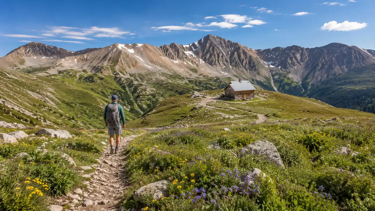
Second Creek Trail starts near the top of Berthoud Pass, on the second-to-last curve as you descend toward Winter Park. The hike to Broome Hut and back covers about 2 miles with roughly 900 feet of elevation gain, which makes it the easiest way to reach true alpine tundra on this entire list.
Once you’re warmed up, the trail keeps going toward Twin Cones on the Continental Divide, stretching the round trip to around 5.3 miles for hikers who want more of a challenge.
Wildflowers line the meadows here through midsummer, and the same trail turns into one of my favorite snowshoe routes once the snow returns, a route I cover in more depth in my guide to the season’s best hikes.
Keep dogs leashed, and skip bringing them inside the Broome Hut itself, since pets aren’t allowed there.
Vasquez Peak Trail
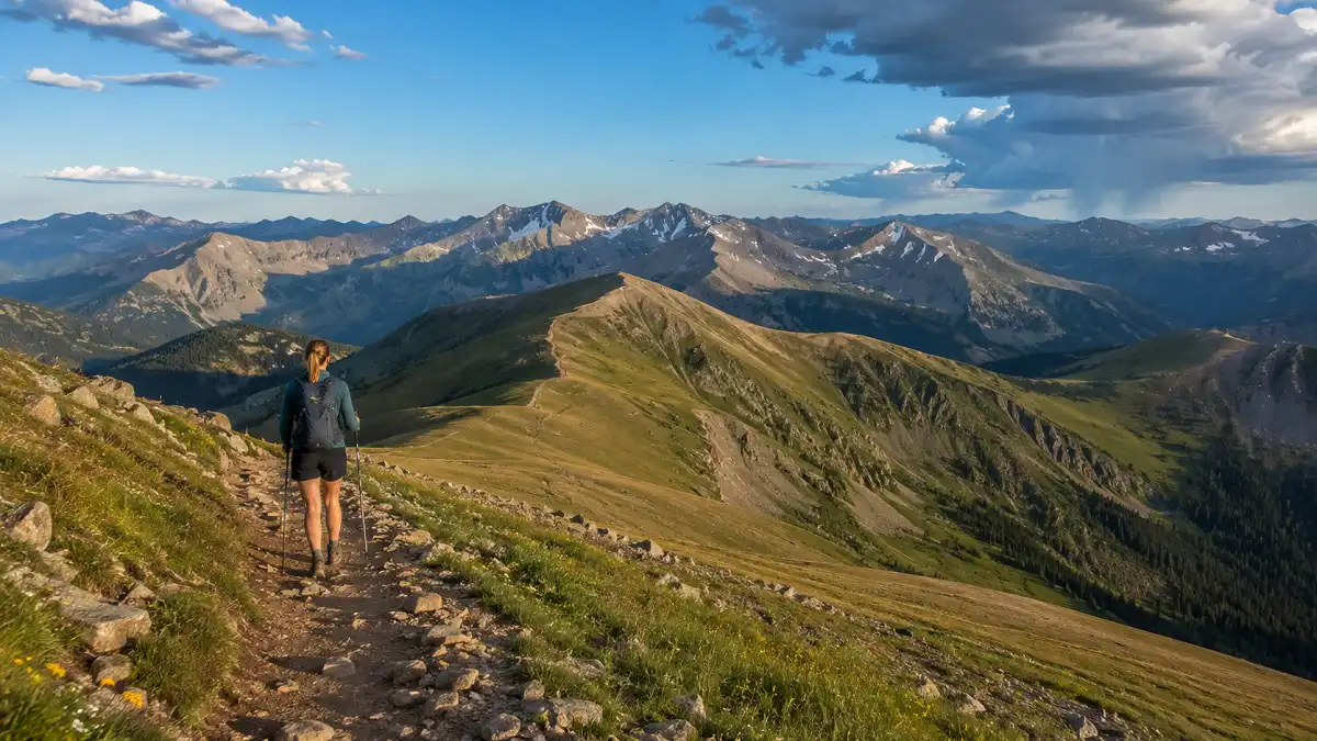
Vasquez Peak Trail climbs out of the Vasquez Peak Wilderness. Drive a couple of miles up Vasquez Road from downtown Winter Park to reach the trailhead.
The full route to the Continental Divide Trail runs up to 13.8 miles round trip with about 2,293 feet of elevation gain, though most hikers turn around at Vasquez Pass, roughly 3 miles in, for a shorter day with most of the same alpine scenery.
Because so much of this wilderness sits above treeline, afternoon storms are a real hazard here too, so I always start early and watch the sky.
This is the trail I recommend to hikers who want quiet, since it sees noticeably less traffic than the other options on this list.
Devil’s Thumb Trail
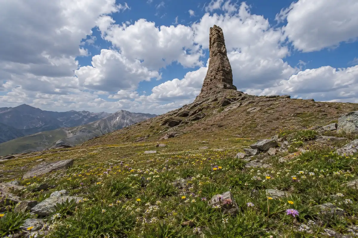
Devil’s Thumb Trail climbs to one of the more recognizable landmarks in Grand County, a narrow rock spire visible from Highway 40 on clear days.
From the Devil’s Thumb Trailhead off County Road 128 near Fraser, plan on about 7.8 miles round trip and close to 2,600 feet of elevation gain to reach Devil’s Thumb Pass near 12,200 feet on the Continental Divide.
The trail sits inside Indian Peaks Wilderness, and the terrain turns rocky and exposed above treeline, so this one belongs on a clear morning rather than a questionable afternoon.
Day hiking here doesn’t require a permit, though overnight camping inside Indian Peaks Wilderness needs one between June 1 and September 15.
Byers Peak Trail
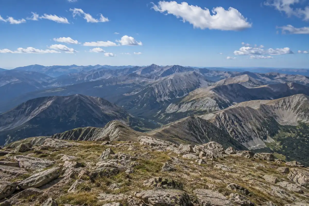
Byers Peak Trail is the hardest hike on this list, and the numbers back that up. Drive a forest road southwest of Fraser to reach the trailhead, then plan on about 9 miles round trip with close to 3,000 feet of climbing to the 12,804-foot summit.
The first two miles follow a closed service road, which some hikers bike to save their legs for the singletrack above, and higher up the final push above treeline turns steep and rocky.
Afternoon thunderstorms build fast up here, so treat this climb like a 14er and plan to be off the summit well before early afternoon.
Trekking poles earn their keep on the descent, especially on the loose rock near the top, so it’s worth reading through my thoughts on trekking poles before you attempt this one.
Seasonal snow can keep the access road closed until as late as early July some years, so check conditions before you drive up.
Start early and aim to be off the exposed summit well before early afternoon.
The access road can remain closed until early July in some years.
Trail Comparison at a Glance
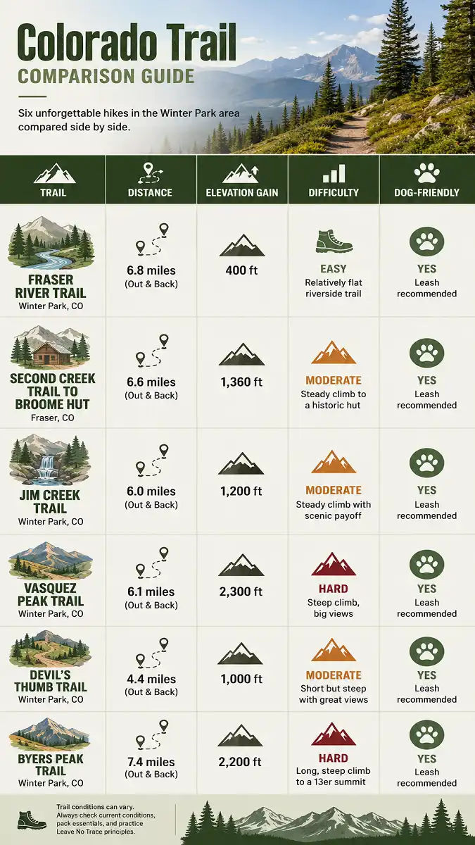
| Trail | Distance | Elevation Gain | Difficulty | Dogs |
|---|---|---|---|---|
| Fraser River Trail | About 4 miles | Minimal | Easy | Yes, leashed |
| Second Creek Trail to Broome Hut | About 2 miles | About 900 feet | Easy to moderate | Yes, leashed |
| Jim Creek Trail | About 7.5 miles | About 1,450 feet | Moderate | Yes, leashed |
| Vasquez Peak Trail | Up to 13.8 miles | Up to 2,293 feet | Moderate to strenuous | Yes, leashed |
| Devil’s Thumb Trail | About 7.8 miles | About 2,600 feet | Strenuous | Yes, leashed |
| Byers Peak Trail | About 9 miles | About 2,900 feet | Strenuous | Yes, leashed |
Practical Tips for Hiking Near Winter Park
None of the best hikes near Winter Park, Colorado on this list need a permit for a day hike, since they all sit on general Arapaho National Forest land instead of a fee-based recreation area.
That’s different from the trailheads closer to Grand Lake and Granby, where a day-use fee applies, so double check before you park if you head in that direction instead.
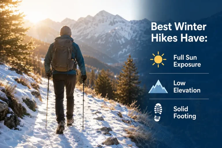
Afternoon thunderstorms build quickly above treeline. Aim to be off exposed ridges by early afternoon.
Snow can block higher trailheads, including the road up to Byers Peak, until as late as early July.
Temperatures at 11,000 feet can change quickly between morning and midday, even in July.
Sun exposure is stronger at high elevation, so sunscreen and a real hat are worth packing.
If you’re arriving from closer to sea level, give yourself a low-key day before attempting Byers Peak or Devil’s Thumb, since altitude sickness can hit hard if you jump straight from a flight to elevation.
Water and electrolytes help more than people expect, so pack more than you think you’ll need, since most of these trails don’t pass a reliable water source you can count on for a refill.
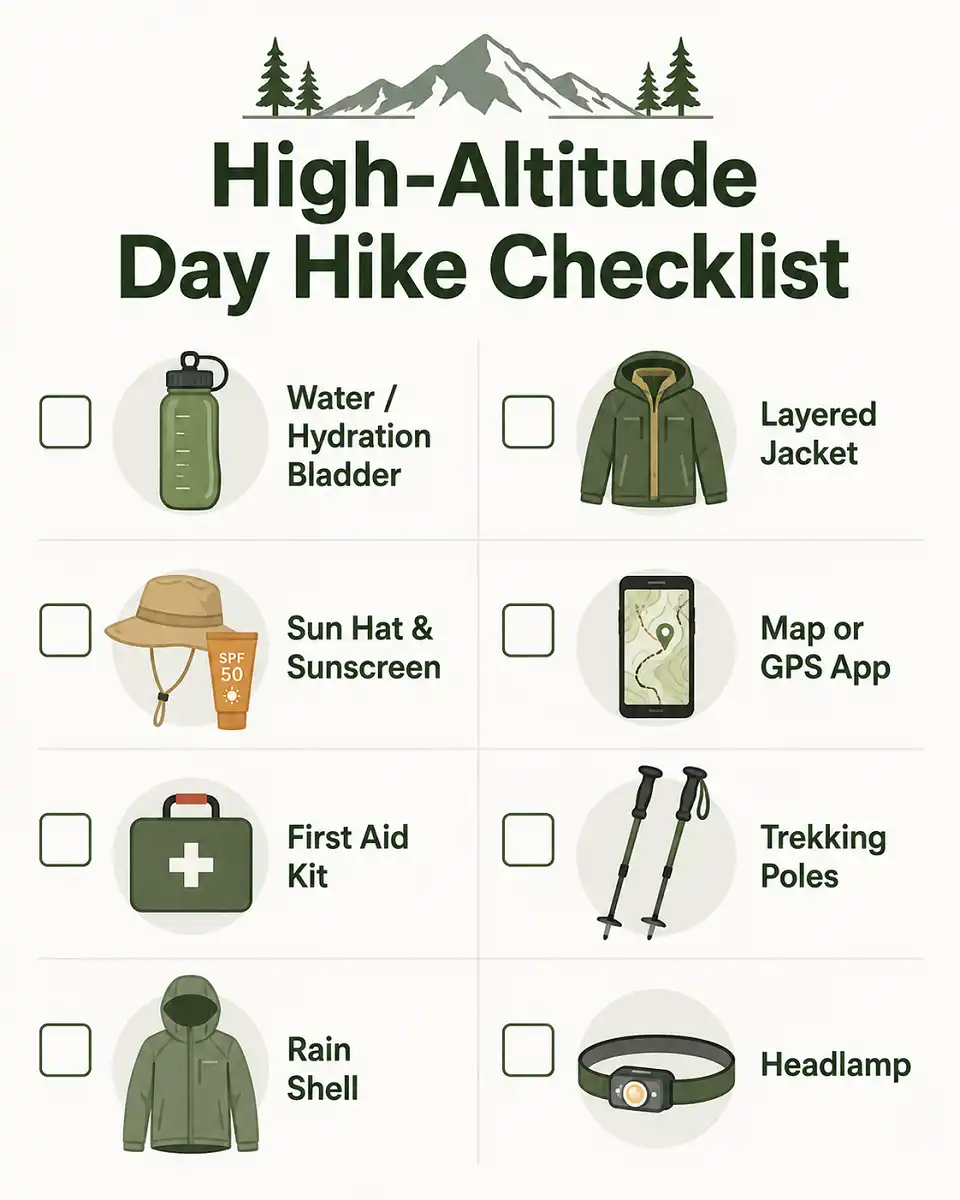
I keep a simple checklist for days like this, built around the same safety habits I recommend for any mountain hike.
Check the weather before leaving
For real-time trail conditions, Colorado’s COTREX app is worth checking before you head out. Weather planning matters for every one of the best hikes near Winter Park, Colorado on this list, not just the higher summits.
Final Thoughts
That covers the best hikes near Winter Park, Colorado, from an easy river stroll to a full day on a 12,804-foot summit.
Start with Second Creek Trail or the Fraser River path if the altitude is new to you, then work up to Jim Creek Trail and Vasquez Peak Trail once you’re acclimated.
Save Byers Peak or Devil’s Thumb for a clear morning with an early start.
If you end up chasing more Colorado mountain towns after this trip, my breakdown of summer hikes in Breckenridge covers a similar mix of easy and demanding trails a couple hours south.
Check current conditions before you go, pack for afternoon storms, and you’ll come away with a day that does this valley justice.
FAQs
Are the best hikes near Winter Park, Colorado good for beginners?
Yes, several are. Fraser River Trail is flat and paved, and the short version of Second Creek Trail to Broome Hut only gains about 900 feet over a mile, so both work well if you’re new to hiking at altitude. Save Byers Peak and Devil’s Thumb for once you’ve built up some elevation experience.
Do you need a permit for the best hikes near Winter Park, Colorado?
No, not for a day hike. These trails sit on general Arapaho National Forest land, so you won’t pay a day-use fee or need a wilderness permit to walk them. The one exception is overnight camping inside Indian Peaks Wilderness, which needs a permit between June 1 and September 15.
When is the best time of year for the best hikes near Winter Park, Colorado?
Late June through September covers most of the reliable hiking window. Wildflowers usually peak in July, and some higher trailheads stay snowed in until early summer, so check current conditions before you commit to anything above treeline in May or early June.
Can I bring my dog on the best hikes near Winter Park, Colorado?
Yes, on a leash. Every trail in this guide allows leashed dogs, though a few spots, like the warming hut at Berthoud Pass, don’t allow dogs inside the building itself.
How much elevation gain should a beginner expect?
Keep it under 1,000 feet for a first high-altitude hike, which is why Second Creek Trail to Broome Hut makes a solid starting point among the best hikes near Winter Park, Colorado. Once that feels comfortable, Jim Creek Trail is a fair next step before you try anything in the 2,500-foot range like Byers Peak.