Do I Need a GPS for Hiking? Here’s What You Should Know
If you’re getting ready for a hike, you may be wondering, do I need a GPS for hiking? The short answer is: not always. For a short, familiar trail with clear signs, a phone or traditional map may be enough. But when you’re heading into unfamiliar, remote, or backcountry areas, a GPS can be a valuable navigation tool.
Do you need a GPS for hiking?
Not necessarily. A GPS is especially useful for unfamiliar, remote, complex, or long-distance hikes, but it should be used alongside a map, compass, and basic navigation skills.
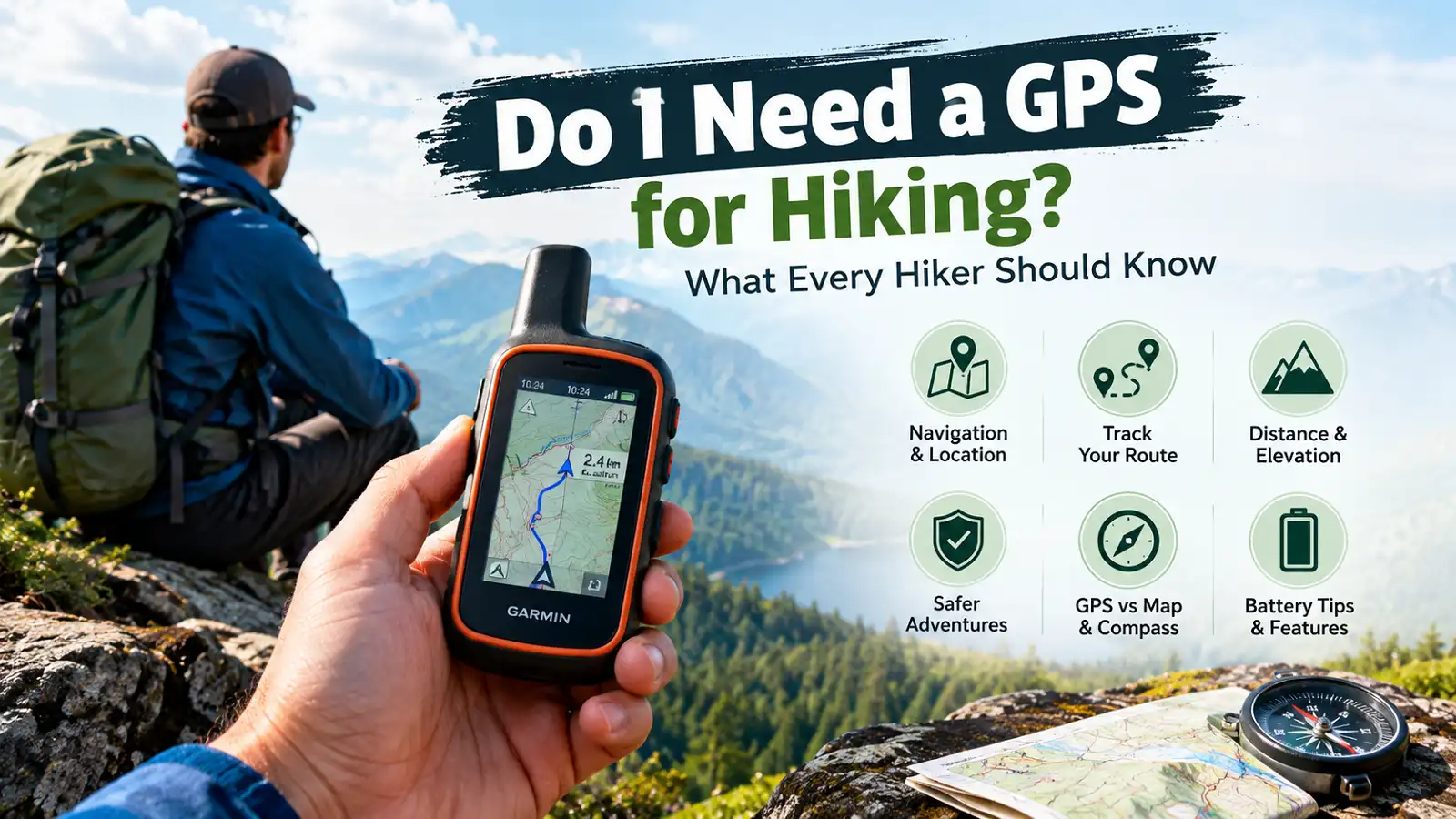
A hiking GPS can tell you where you are, show where you’ve been, and help you navigate toward a destination. It can also record your route and provide useful information such as distance and elevation.
However, a GPS should not be treated as a replacement for basic navigation skills. A map and compass are still important backup tools, especially when you’re far from help.
Do You Really Need a GPS for Hiking?
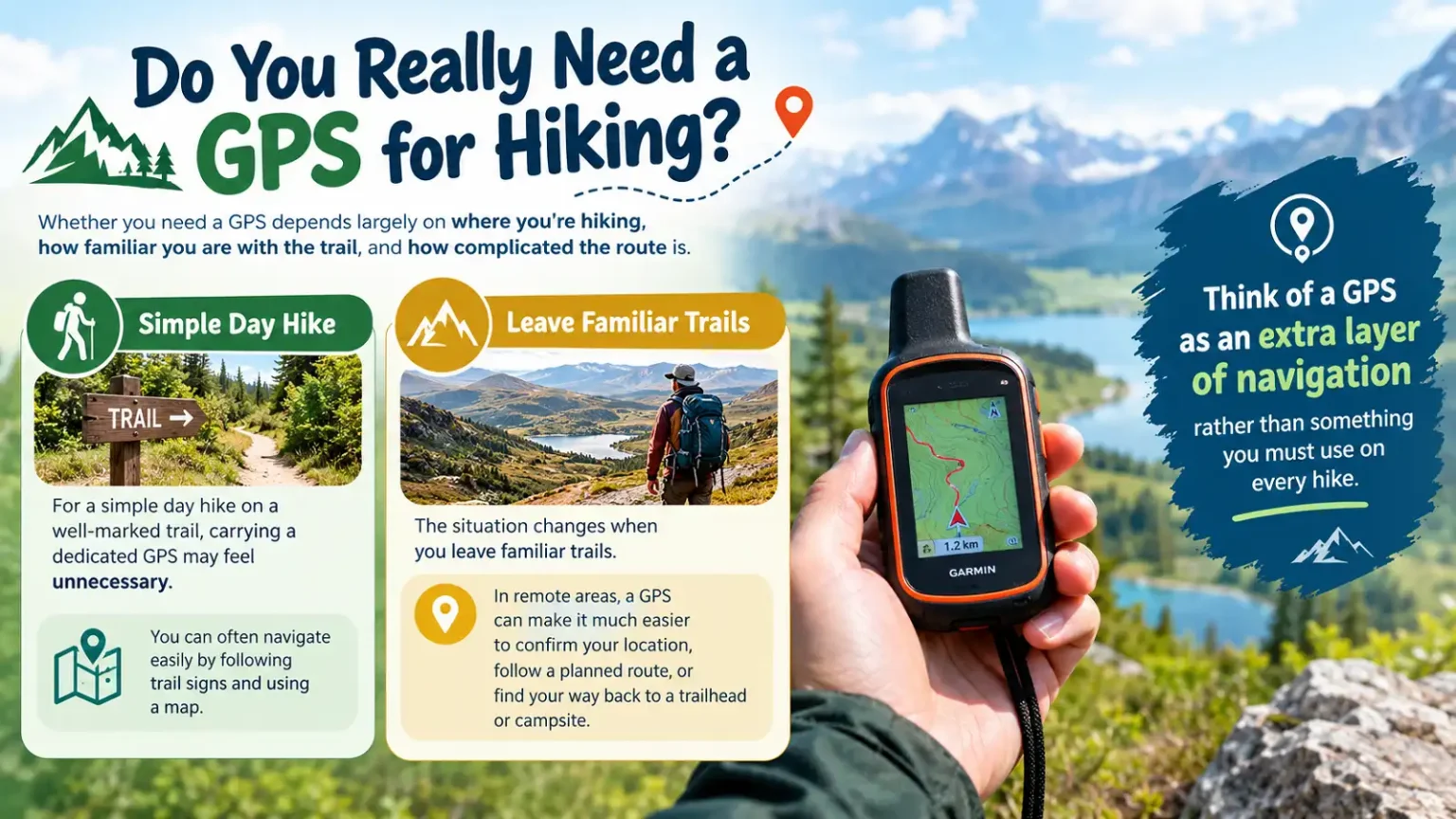
Whether you need a GPS depends largely on where you’re hiking, how familiar you are with the trail, and how complicated the route is.
For a simple day hike on a well-marked trail, carrying a dedicated GPS may feel unnecessary. You can often navigate easily by following trail signs and using a map.
The situation changes when you leave familiar trails. In remote areas, a GPS can make it much easier to confirm your location, follow a planned route, or find your way back to a trailhead or campsite.
Think of a GPS as an extra layer of navigation rather than something you must use on every hike.
When Is a GPS Useful for Hiking?
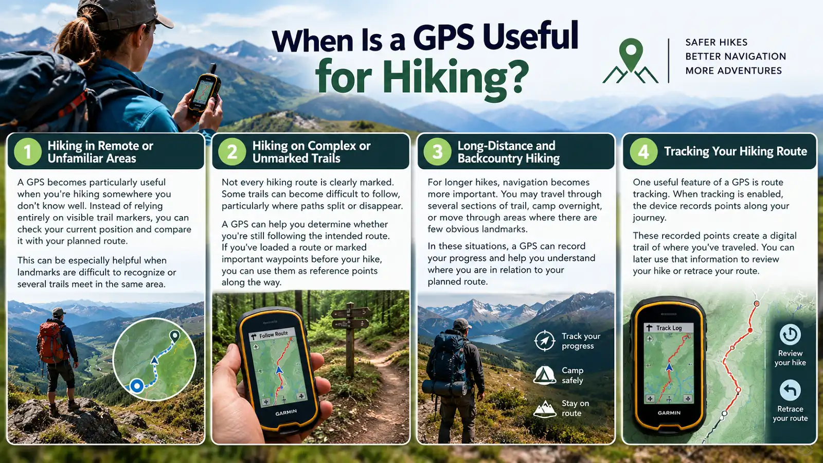
Confirm your location and compare it with your planned route when you’re hiking somewhere unfamiliar.
Check whether you’re still following your intended route when paths split, disappear, or become difficult to follow.
Track your progress and understand where you are along longer routes and backcountry trips.
Record your journey as a digital trail that you can later review or use to retrace your route.
Hiking in Remote or Unfamiliar Areas
A GPS becomes particularly useful when you’re hiking somewhere you don’t know well. Instead of relying entirely on visible trail markers, you can check your current position and compare it with your planned route.
This can be especially helpful when landmarks are difficult to recognize or several trails meet in the same area.
Hiking on Complex or Unmarked Trails
Not every hiking route is clearly marked. Some trails can become difficult to follow, particularly where paths split or disappear.
A GPS can help you determine whether you’re still following the intended route. If you’ve loaded a route or marked important waypoints before your hike, you can use them as reference points along the way.
Long-Distance and Backcountry Hiking
For longer hikes, navigation becomes more important. You may travel through several sections of trail, camp overnight, or move through areas where there are few obvious landmarks.
In these situations, a GPS can record your progress and help you understand where you are in relation to your planned route.
Tracking Your Hiking Route
One useful feature of a GPS is route tracking. When tracking is enabled, the device records points along your journey.
These recorded points create a digital trail of where you’ve traveled. You can later use that information to review your hike or retrace your route.
What Can a GPS Do for Hikers?
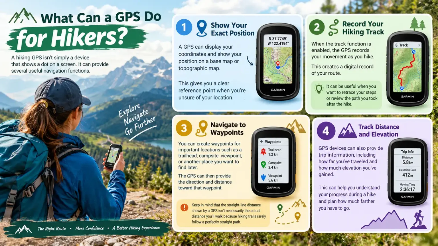
A hiking GPS isn’t simply a device that shows a dot on a screen. It can provide several useful navigation functions.
Show Your Exact Position
A GPS can display your coordinates and show your position on a base map or topographic map. This gives you a clear reference point when you’re unsure of your location.
Record Your Hiking Track
When the track function is enabled, the GPS records your movement as you hike, creating a digital record of your route.
Navigate to Waypoints
You can create waypoints for important locations such as a trailhead, campsite, viewpoint, or another place you want to find later.
Track Distance and Elevation
GPS devices can provide trip information, including how far you’ve traveled and how much elevation you’ve gained.
One Important Detail
The straight-line distance shown by a GPS isn’t necessarily the actual distance you’ll walk because hiking trails rarely follow a perfectly straight path.
GPS vs. Map and Compass: Do You Need Both?
GPS
- Shows your current position.
- Records your hiking track.
- Helps navigate toward waypoints.
- Provides distance and elevation information.
- Offers convenient digital navigation.
Map + Compass
- Doesn’t depend on batteries.
- Provides reliable backup navigation.
- Helps develop fundamental navigation skills.
- Remains useful when electronics fail.
- Works as part of a complete navigation system.
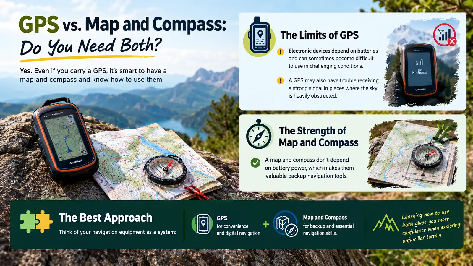
Yes. Even if you carry a GPS, it’s smart to have a map and compass and know how to use them.
Electronic devices depend on batteries and can sometimes become difficult to use in challenging conditions. A GPS may also have trouble receiving a strong signal in places where the sky is heavily obstructed.
A map and compass don’t depend on battery power, which makes them valuable backup navigation tools.
Use navigation as a system
GPS for convenience and digital navigation + map and compass for backup and essential navigation skills.
Learning how to use both gives you more confidence when exploring unfamiliar terrain.
Why Use a Dedicated Handheld GPS for Hiking?
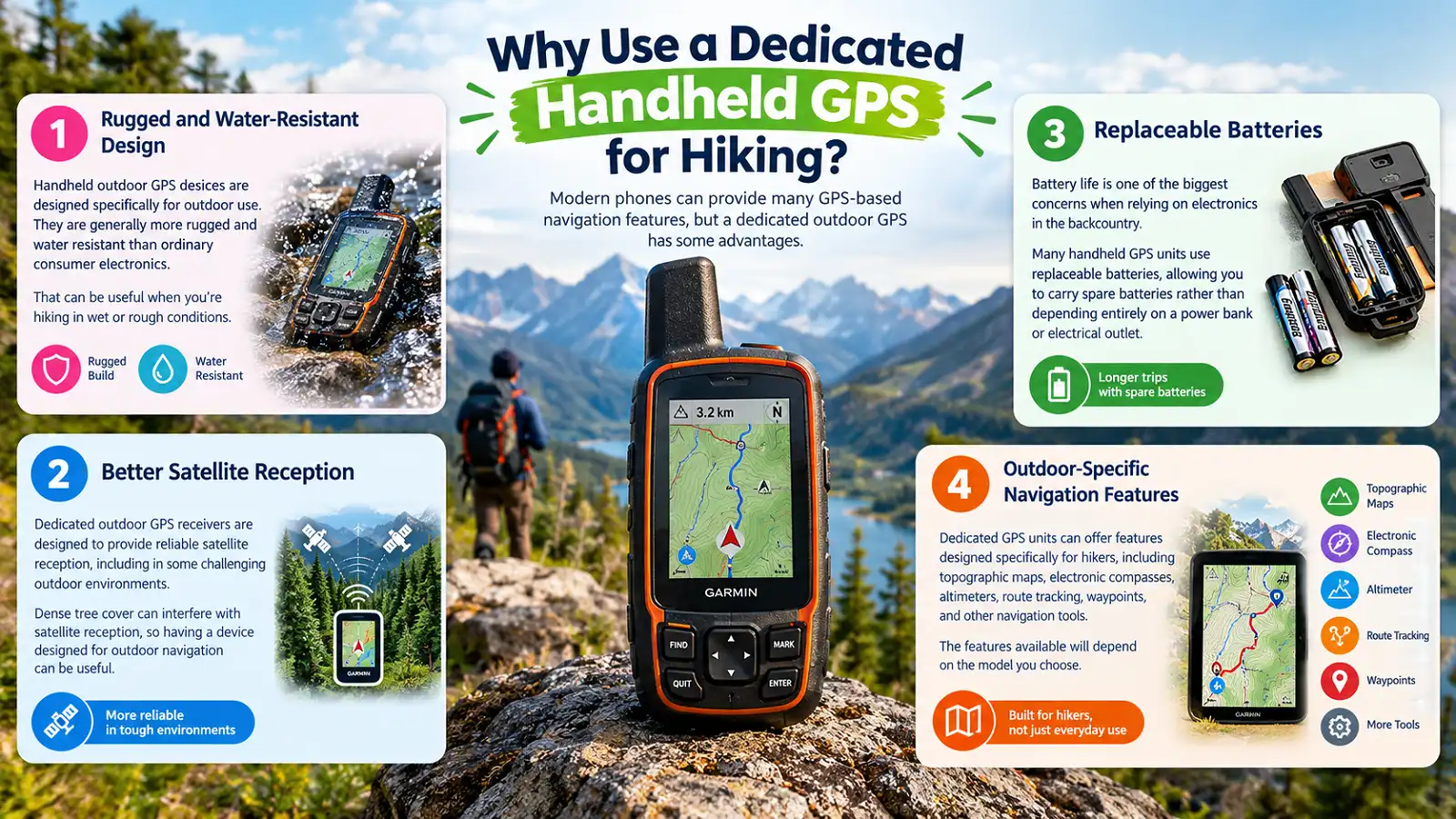
Modern phones can provide many GPS-based navigation features, but a dedicated outdoor GPS has some advantages.
Handheld outdoor GPS devices are designed specifically for outdoor use and are generally more rugged and water resistant than ordinary consumer electronics.
Dedicated outdoor GPS receivers are designed to provide reliable satellite reception, including in some challenging outdoor environments.
Many handheld GPS units use replaceable batteries, allowing you to carry spare batteries rather than depending entirely on a power bank or electrical outlet.
Dedicated GPS units can offer topographic maps, electronic compasses, altimeters, route tracking, waypoints, and other navigation tools.
Dense tree cover can interfere with satellite reception, so having a device designed for outdoor navigation can be useful.
The features available will depend on the model you choose.
What GPS Features Should Hikers Look For?
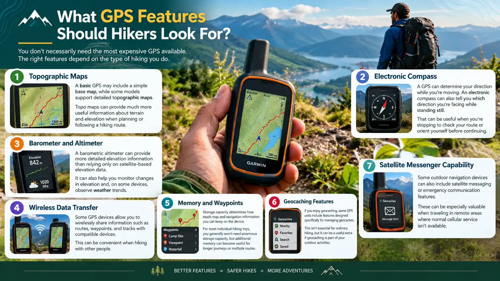
You don’t necessarily need the most expensive GPS available. The right features depend on the type of hiking you do.
Topographic Maps
A basic GPS may include a simple base map, while some models support detailed topographic maps. Topo maps can provide much more useful information about terrain and elevation.
Electronic Compass
A GPS can determine your direction while you’re moving. An electronic compass can also tell you which direction you’re facing while standing still.
Barometer and Altimeter
A barometric altimeter can provide more detailed elevation information than relying only on satellite-based elevation data. It can also help monitor changes in elevation and, on some devices, observe weather trends.
Wireless Data Transfer
Some GPS devices allow you to wirelessly share routes, waypoints, and tracks with compatible devices.
Memory and Waypoints
Storage capacity determines how much map and navigation information you can keep on the device. Additional memory can become useful for longer journeys or multiple routes.
Geocaching Features
Some GPS units include features designed specifically for managing geocaches. This isn’t essential for ordinary hiking, but it can be useful for geocaching.
Satellite Messenger Capability
Some outdoor navigation devices can include satellite messaging or emergency communication features, which can be valuable in remote areas without normal cellular service.
How to Use a GPS While Hiking
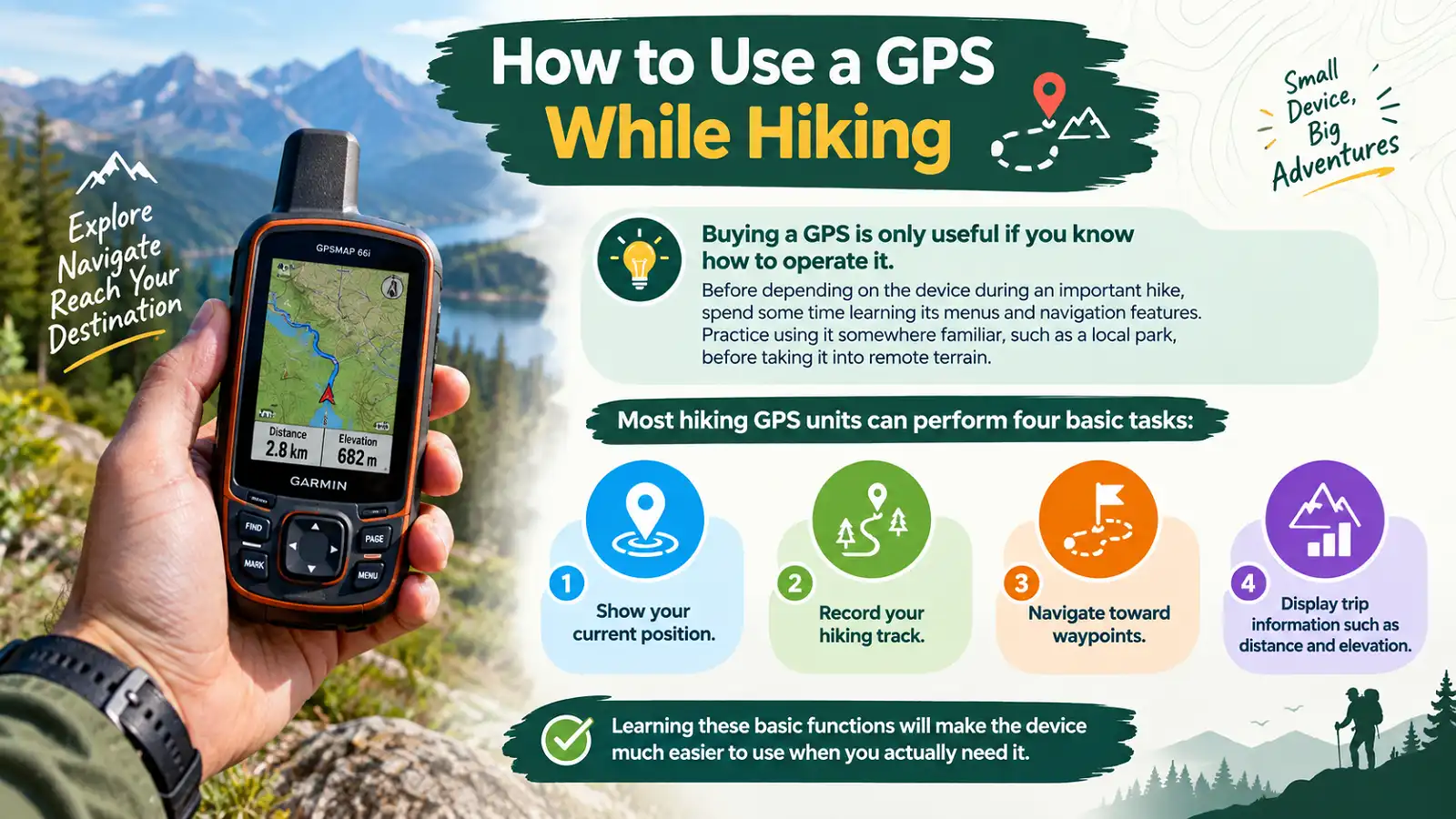
Buying a GPS is only useful if you know how to operate it.
Before depending on the device during an important hike, spend some time learning its menus and navigation features. Practice using it somewhere familiar, such as a local park, before taking it into remote terrain.
Most hiking GPS units can perform four basic tasks:
- Show your current position.
- Record your hiking track.
- Navigate toward waypoints.
- Display trip information such as distance and elevation.
Learning these basic functions will make the device much easier to use when you actually need it.
How to Set Up Your GPS Before a Hike
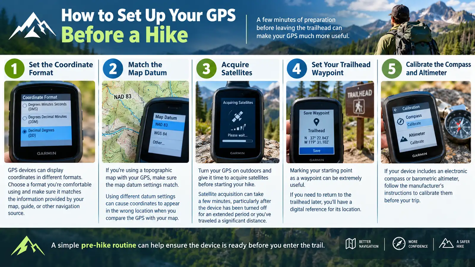
A few minutes of preparation before leaving the trailhead can make your GPS much more useful.
Choose a coordinate format you’re comfortable using and make sure it matches your map, guide, or other navigation source.
Make sure the GPS and topographic map use matching datum settings when comparing coordinates.
Turn the GPS on outdoors and give it time to acquire satellites before beginning your hike.
Mark your starting point as a waypoint so you have a digital reference if you need to return later.
If included, follow the manufacturer’s instructions to calibrate the electronic compass or barometric altimeter.
How to Get a Better GPS Signal While Hiking
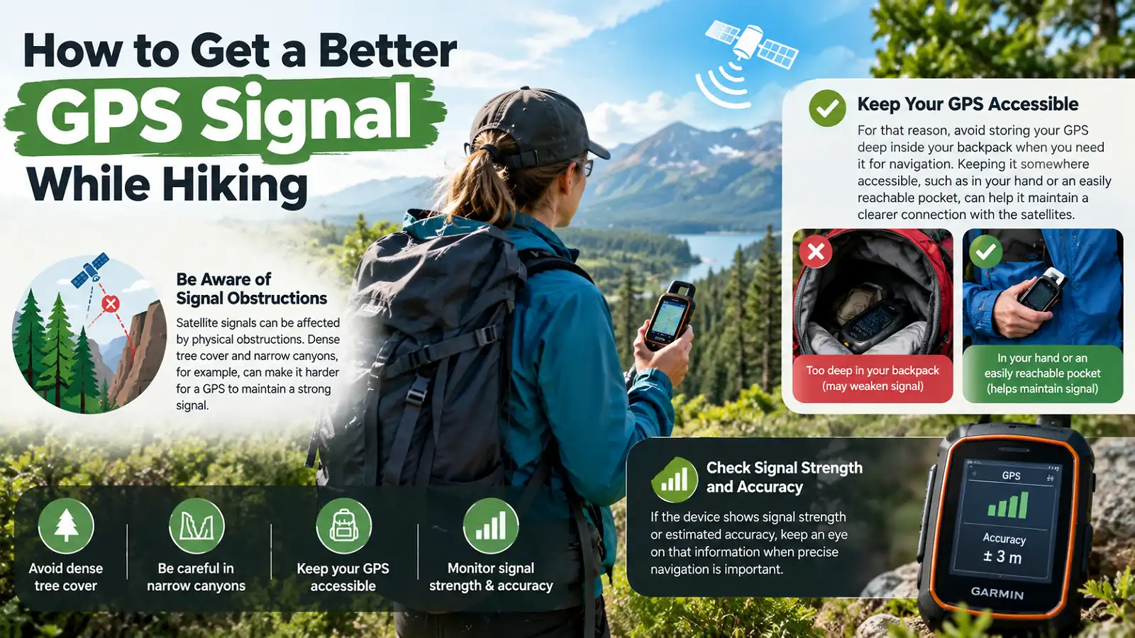
Keep Your GPS Accessible
Dense tree cover and narrow canyons can make it harder for a GPS to maintain a strong satellite signal. Avoid storing the device deep inside your backpack when you need it for navigation.
Satellite signals can be affected by physical obstructions. Dense tree cover and narrow canyons, for example, can make it harder for a GPS to maintain a strong signal.
Keeping it somewhere accessible, such as in your hand or an easily reachable pocket, can help it maintain a clearer connection with the satellites.
If the device shows signal strength or estimated accuracy, keep an eye on that information when precise navigation is important.
How Long Does a Hiking GPS Battery Last?
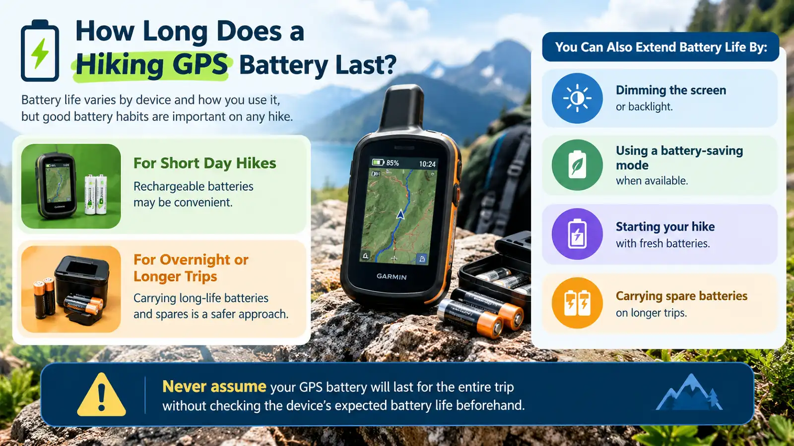
Battery life varies by device and how you use it, but good battery habits are important on any hike.
Plan for Your Entire Trip
For short day hikes, rechargeable batteries may be convenient. For overnight or longer trips, carrying long-life batteries and spares is a safer approach.
You can also extend battery life by:
- Dimming the screen or backlight.
- Using a battery-saving mode when available.
- Starting your hike with fresh batteries.
- Carrying spare batteries on longer trips.
Never assume your GPS battery will last for the entire trip without checking the device’s expected battery life beforehand.
Can You Go Hiking Without a GPS?
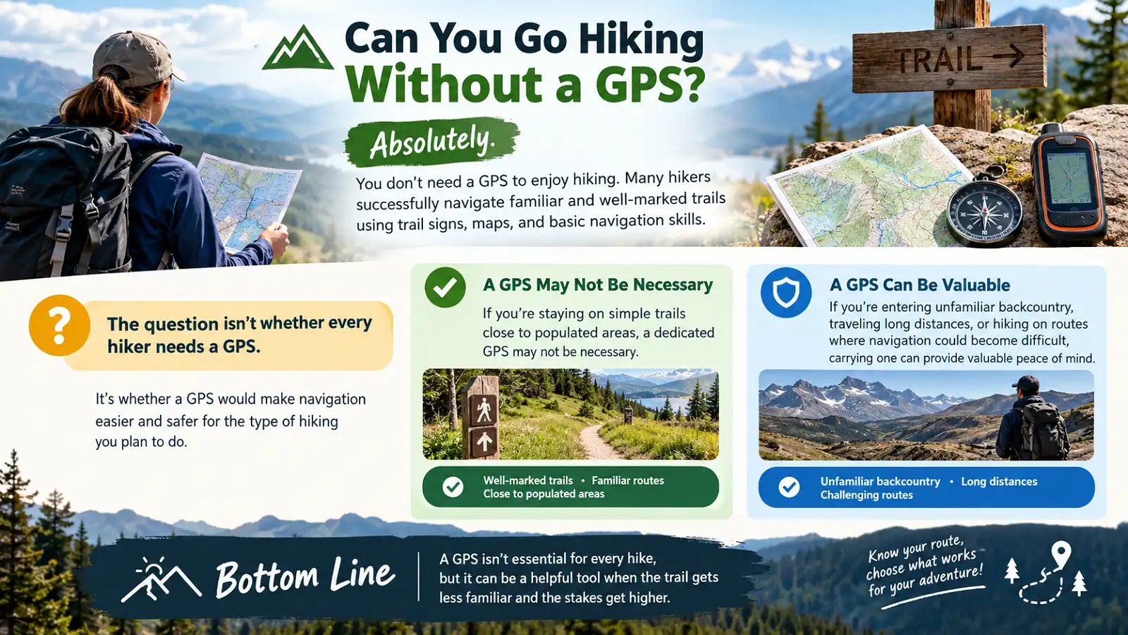
Absolutely.
You don’t need a GPS to enjoy hiking. Many hikers successfully navigate familiar and well-marked trails using trail signs, maps, and basic navigation skills.
The question isn’t whether every hiker needs a GPS. It’s whether a GPS would make navigation easier and safer for the type of hiking you plan to do .
If you’re staying on simple trails close to populated areas, a dedicated GPS may not be necessary.
If you’re entering unfamiliar backcountry, traveling long distances, or hiking on routes where navigation could become difficult, carrying one can provide valuable peace of mind.
Do Beginners Need a GPS for Hiking?
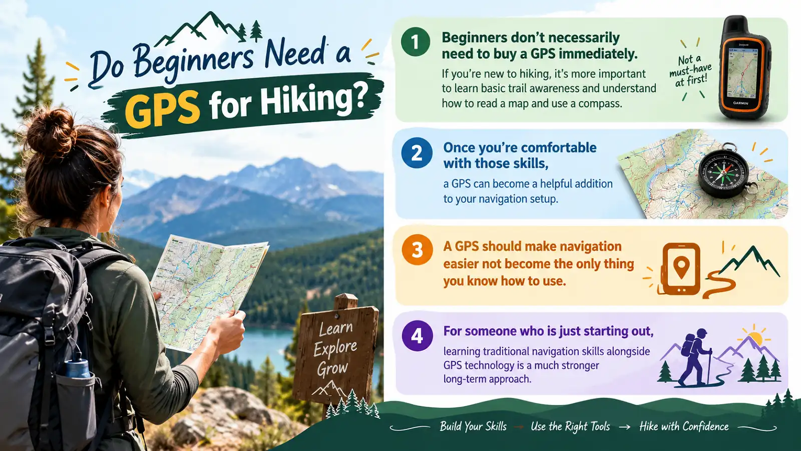
Beginners don’t necessarily need to buy a GPS immediately.
Learn Basic Navigation
If you’re new to hiking, it’s more important to learn basic trail awareness and understand how to read a map and use a compass.
Use GPS as an Extra Tool
Once you’re comfortable with traditional navigation skills, a GPS can become a helpful addition to your navigation setup.
Don’t Depend on Technology Alone
A GPS should make navigation easier, not become the only thing you know how to use.
For someone who is just starting out, learning traditional navigation skills alongside GPS technology is a much stronger long-term approach.
Do I Need a GPS for Hiking?
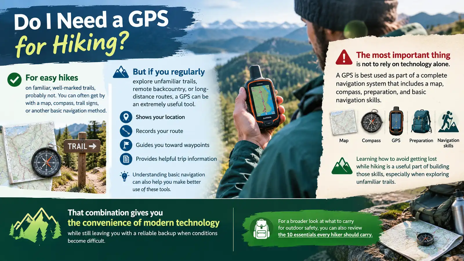
For easy hikes on familiar, well-marked trails, probably not. You can often get by with a map, compass, trail signs, or another basic navigation method.
But if you regularly explore unfamiliar trails, remote backcountry, or long-distance routes, a GPS can be an extremely useful tool. It can show your location, record your route, guide you toward waypoints, and provide helpful trip information.
Understanding basic navigation can also help you make better use of these tools.
Learning how to avoid getting lost while hiking is a useful part of building those skills, especially when exploring unfamiliar trails.
That combination gives you the convenience of modern technology while still leaving you with a reliable backup when conditions become difficult.
A GPS is best used as part of a complete navigation system that includes a map, compass, preparation, and basic navigation skills.
For a broader look at what to carry for outdoor safety, you can also review the 10 essentials every hiker should carry .
FAQs
Is a GPS necessary for hiking?
No. A GPS isn’t necessary for every hike. However, it can be very useful on unfamiliar, remote, or complicated routes.
Can I hike without a GPS?
Yes. You can hike without a GPS by using trail markers, maps, and a compass. For more challenging hikes, carrying a GPS can provide an additional navigation option.
Is a phone GPS enough for hiking?
A phone can provide GPS-based navigation, but a dedicated handheld GPS may offer advantages such as rugged construction, water resistance, replaceable batteries, and outdoor-specific features.
Do beginner hikers need GPS?
Not necessarily. Beginners should first learn basic navigation skills. A GPS can then be added as a useful tool as hiking experience grows.
Is a handheld GPS better for hiking?
For demanding outdoor use, a dedicated handheld GPS can offer advantages over a regular phone, particularly in durability, battery options, satellite reception, and specialized navigation features.
Do you still need a map and compass with GPS?
Yes. A map and compass are important backup tools because electronic devices can run out of battery or become less reliable in certain environments.